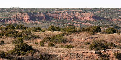
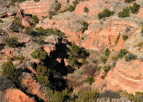
Impossible canyons
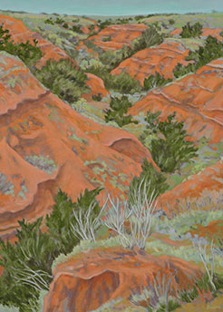
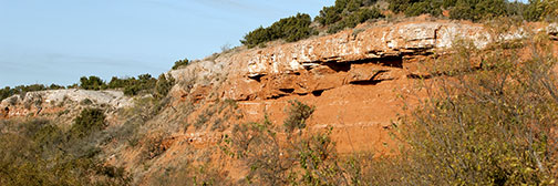
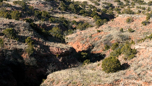
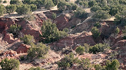
Maze-like canyons and creeks in the Brazos River Canyonlands drop hundreds of feet from the rolling range lands to the valleys and the river below, unveiling colorful clays, shales, and sands in shades of red and terra cotta, grays and brilliant white gypsum. Deep evergreen Juniper trees rim the canyons and tablelands. Mesquites, Hackberries, and native grasses cover the rangelands. Motes of Shin Oaks compete in areas of sandy soil. Cottonwood and Pecan trees grow in the valleys and canyons.
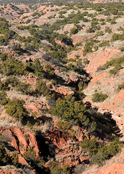
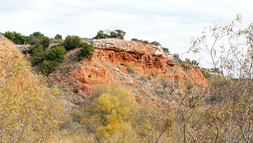
The creeks and canyons bear descriptive names. Big Rough and Little Rough Creeks, Red Aleck Creek, Impossible Canyon and Near Impossible Canyon. They run from places like Cottonwood Flats and Mesquite Grove down to Longhorn Valley and on to the river, the Double Mountain Fork of the Brazos.
These Canyonlands create a landscape of wild beauty, bountiful wildlife and few people, a place of great ranches, a proud mythical history, and end-of-the-road open spaces.

Description-forrest_armke_20080117_290
Description-forrest_armke_20080117_248
Description-forrest_armke_20080117_282
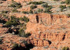
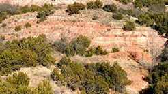
Impossible Canyon
Spanish explorers in the sixteenth century, traveling in this area, using the Spanish word malpais, referred to this area being “bad lands to travel.” With canyons, ravines, and hoodoos, the Canyonlands became notorious as hideouts and escape routes for the Comanches. Impossible Canyon lies as the west boundary of its namesake ranch, Impossible Canyon Ranch, in Scurry County near the “county line” of Fisher and Kent counties.
brazosrivercanyonlands.com is published by Jim Watson and licensed
under a Creative Commons Attribution-NonCommercial 4.0 International License.