Mountain landmarks
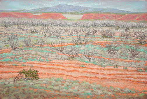
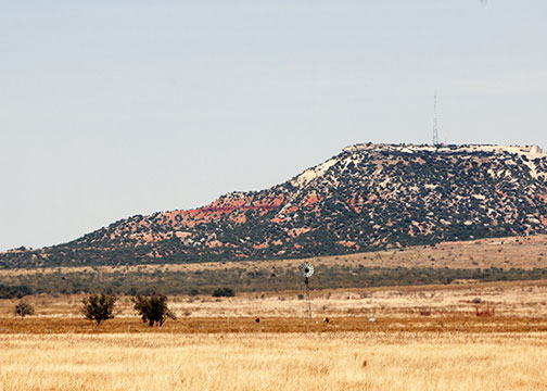
At the west end of these canyonlands lies Cooper Mountain, a landmark in Scurry and Kent counties. This tableland mesa, carved by the river, rises several hundred feet above the landscape and provided a strategic position for the Comanches in one of their last battles with the frontier soldiers in the 1870s.

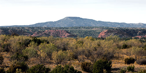
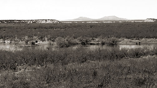
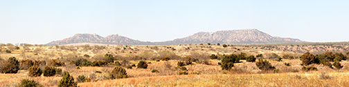
As the Double Mountain Fork connects with the creeks and canyons and flows on east, into Fisher and Stonewall Counties, the river passes the largest of the tableland mountains, the Double Mountain.
At an elevation of 2,400 feet, the Double Mountain rises like a giant mesa over 600 feet above the range land and canyons below. “The mountain dominates the surrounding plain, expressing a stalwart grandeur. As a well-known Texas landmark, Double Mountain evokes the state’s exploratory history.” (Lawton and Vogel, 2007)
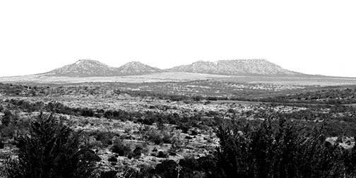
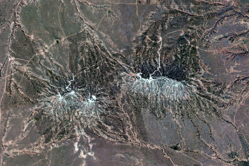
NAIP
The second image of Double Mountain seen above is a composite map created from aerial orthophoto published by the National Agricultural Imaging Program. To view the entire Double Mountain quadrant and four other composite images that encompass the Brazos River Canyonlands, use the following links:
- Cooper Mountain
- HUDD (Impossible Canyon and Longhorn Valley)
- Hobbs (Branch of Big Rough Creek)
- Tige Canyon (Fisher County)
- Double Mountain
brazosrivercanyonlands.com is published by Jim Watson and licensed
under a Creative Commons Attribution-NonCommercial 4.0 International License.